GSA Today
Volume 21, Number 9 (September 2011)
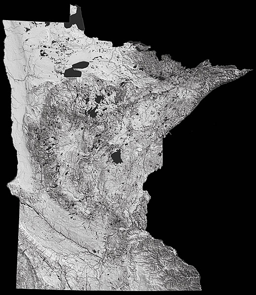
About the cover:
National Elevation Dataset shaded relief image of Minnesota, USA, by Paul Morin of the University of Minnesota’s Polar Geospatial Center, showing the Lake Agassiz basin (NW), an ice stream path (SW), gullies along the Mississippi (SE), and Archean terrane (NE).
© The Geological Society of America, Inc.